GPS and Dash Cams: Two Tools That Answer Different Questions
GPS tracking and fleet dash cam software answer different questions. GPS documents where a vehicle traveled, when it arrived, and how fast it moved. Dash cam software adds the visual record that shows what happened during an event. For incident review, driver coaching, and claims documentation, the two systems together produce the strongest evidence record a fleet can build.
| Capability |
GPS Tracking |
Dash Cam Software |
SureCam Integrated dash cam + GPS |
| Vehicle location and route history |
Yes |
No |
Yes |
| Arrival and departure timestamps |
Yes |
No |
Yes |
| Reported speed and heading |
Yes |
Limited |
Yes |
| Geofence and zone monitoring |
Yes |
No |
Yes |
| Road conditions and traffic context |
No |
Yes |
Yes |
| Visual driver behavior |
No |
Yes |
Yes |
| Event-triggered clip access |
No |
Yes |
Yes |
| Incident visual documentation |
No |
Yes |
Yes |
| Claims defense (standalone) |
Partial |
Strong |
Yes |
Neither system replaces the other. GPS without video leaves no visual account of road conditions, traffic behavior, or lane position around an event. Video without GPS data may lack the location, speed, and route context that gives footage meaning in a claims or coaching review. The sections below explain what each documents and where each reaches its limit.
What GPS Tracking Can Document (and Where It Stops)
GPS records a vehicle's position over time, and for many fleet operations, that data forms the backbone of daily oversight. Route history, geofence activity, arrival and departure windows, mileage totals, and idling metrics all support dispatch decisions, service verification, and utilization reviews. Telematics devices paired with GPS may also capture reported speed, vehicle heading, and harsh-driving alerts, narrowing a post-incident review from an entire shift down to a specific vehicle, time window, and location.
What GPS data cannot capture is the road scene itself. A location stamp cannot show whether traffic stopped suddenly ahead of a driver, a vehicle entered the lane, wet pavement extended stopping distance, or an obstruction appeared in the road ahead. A reported speed points to a moment worth investigating, but the data alone cannot describe what surrounded the driver at that moment.
Fleets relying on GPS for risk and claims review also benefit from understanding the technical parameters behind their records before an incident occurs. Reporting intervals, cellular coverage gaps, event-detection thresholds, and data retention periods all affect how complete a record remains after the fact. Clarifying those parameters in advance saves time when footage or data must be retrieved quickly.
What Fleet Dash Cam Software Adds to the Evidence Record
Fleet dash cam software brings commercial vehicle video into a system where teams can capture, store, retrieve, and review footage alongside telematics data. Forward-facing cameras document the roadway ahead: traffic flow, lane position, road surface, weather conditions, and the behavior of surrounding vehicles in the scene. That visual layer gives safety and risk teams context GPS cannot supply on its own.
The difference that context makes shows clearly in practice. Before Concrete Strategies, a commercial concrete and construction company, deployed forward-facing connected cameras on its 33 largest vehicles, every third-party incident devolved into a dispute. Safety Training and DOT Compliance Manager Lisa Lamons described the situation plainly: "You'd have to go on what the driver said, you'd have to go on a police report if a police report was made. Then, you had to go on pictures and hope that the pictures told a story—and a lot of times those pictures didn't tell the story." After deployment, third-party claims fell 75 percent, and monthly claims handling time dropped from roughly one week to under ten hours.
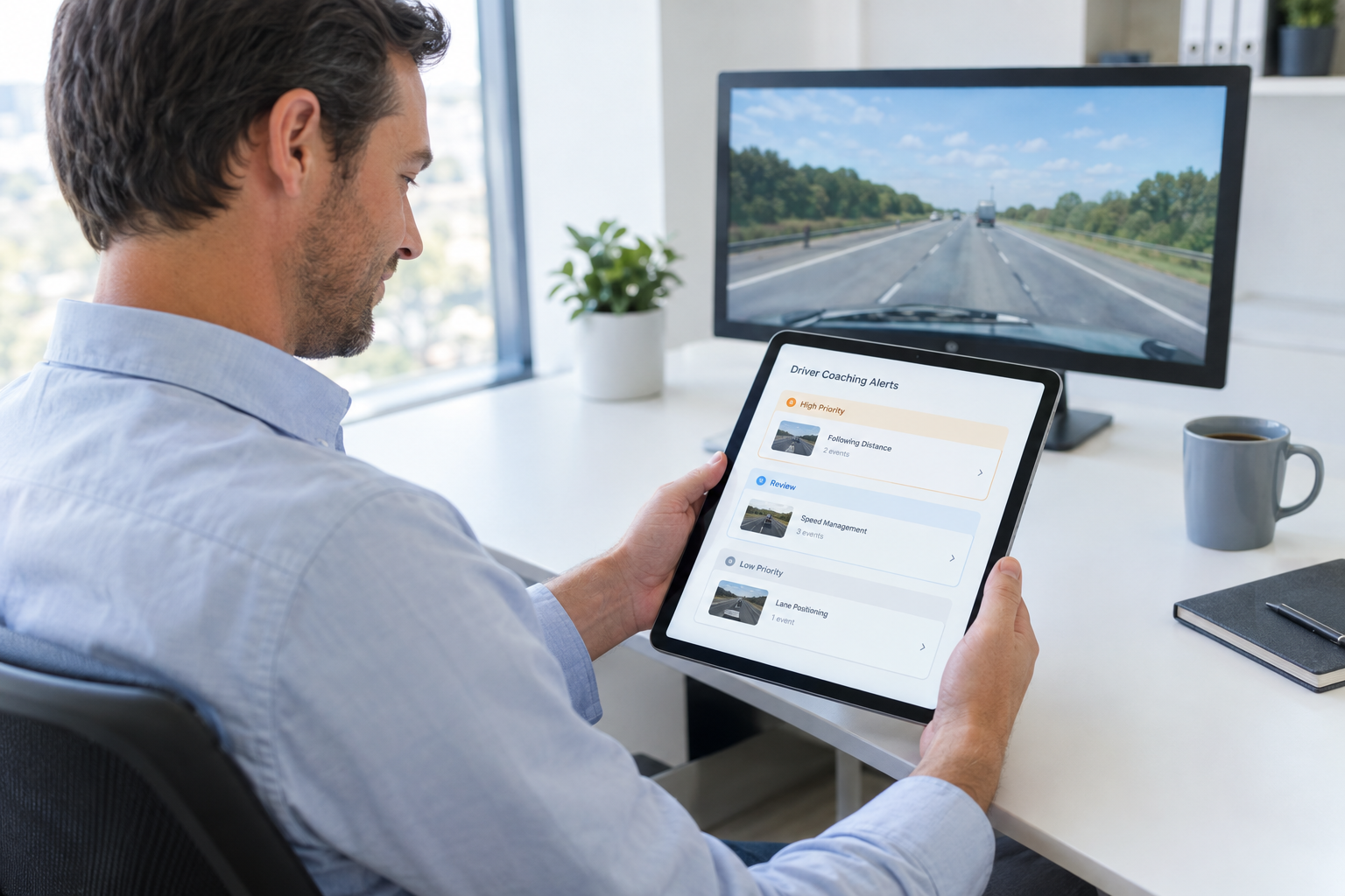
Event-based recording makes fleet-wide footage review practical at scale. Rather than scrubbing through entire shifts, teams configure triggers such as hard braking, harsh acceleration, sharp cornering, and speed threshold violations to surface relevant clips automatically. AI event detection can flag moments worth attention, but a human review step remains important before any coaching or risk decision follows. A single alert rarely tells the full story on its own.
Video carries its own limits. Camera angle, lighting conditions, lens obstructions, and upload availability all affect what a clip shows. Without connected GPS and vehicle data, footage may not clearly establish the location, route, or reported speed associated with an event. The most defensible records pair visual context with data.
Why Combined Evidence Resolves Incidents Faster
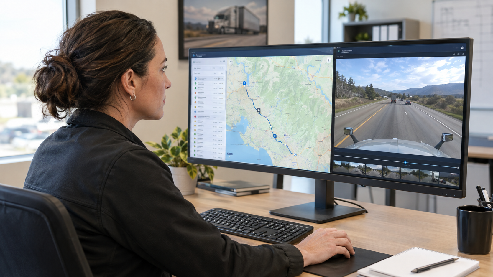
The strongest incident record ties timestamped video to GPS location, reported speed, vehicle heading, and event data in a single workflow. Instead of matching timestamps across disconnected systems, safety and risk teams review the relevant facts in one place before reaching conclusions or initiating coaching.
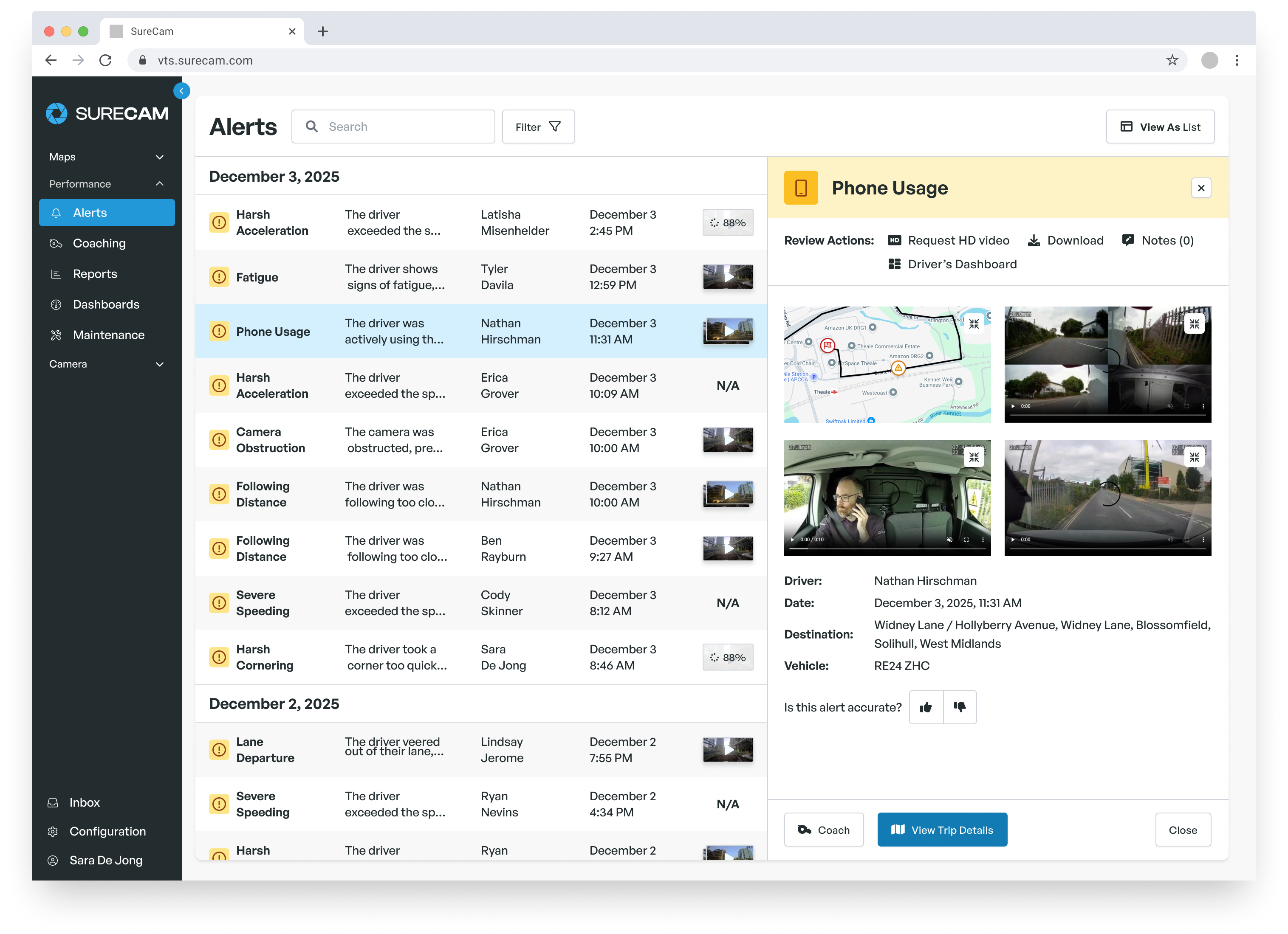
SureCam fleet dash cams include integrated GPS tracking in a single unit, so every video event arrives already tied to location, speed, and heading, with no separate tracker to install or reconcile.
A hard-braking alert illustrates the point. GPS identifies the intersection, time, and reported speed. Video shows whether traffic stopped unexpectedly ahead, a vehicle changed lanes, or road conditions demanded a defensive response. Together, those records support a more specific internal review than either system provides alone, and they do it without requiring drivers or managers to reconstruct an event from memory.
Different teams use that combined record in different ways without duplicating effort. Safety teams review events before driver coaching sessions. Operations teams confirm route adherence and service delivery context. Risk teams organize documentation for claims or incident review. Fleet leaders track whether specific events repeat across drivers, vehicles, or geographic areas. One connected workflow surfaces what each group needs.
Matching the Right Tool to the Decision
The decision between GPS tracking, fleet dash cam software, or both depends on what questions a fleet needs to answer after an event and before one.
GPS tracking covers most operational needs when the priorities center on routing, dispatch, service verification, utilization review, and basic trip documentation. Fleets that primarily need to confirm whether a vehicle reached a location on time and followed a planned route may find GPS data sufficient for day-to-day oversight.
Fleet dash cam software becomes more important when the operation involves incident review, driver coaching, insurance claims documentation, or protection against false third-party claims. Fleets where incidents carry real financial or legal exposure typically benefit from visual evidence that GPS data alone cannot supply.
Before selecting or expanding a system, the practical questions to ask include: How quickly does video become available after an event? How long does footage remain accessible? Which events trigger automatic clip capture? Which team members can access the record? Who owns the alert review and coaching follow-up process?
The simplest test: after an incident, can the team establish where the vehicle was, what it was doing, and what happened around it, and can they retrieve that record quickly? A gap in any one of those answers slows decisions at the worst possible time.
Frequently Asked Questions
The questions below address common points of comparison for fleets evaluating GPS tracking and fleet dash cam software, including what each system can prove independently, how they complement each other, and what to clarify before deploying cameras.
Can GPS Tracking Prove What Caused an Incident?
GPS can establish where and when a vehicle was operating and may also provide reported speed, direction, and harsh-event data. Those records help narrow a review to a specific vehicle, location, and time window.
What GPS data cannot show includes road conditions, traffic behavior, lane position, and the visual sequence of events that led to an incident. Establishing causation typically requires dash cam footage that documents the road scene around the event in question.
Can Fleet Dash Cam Software Replace GPS Tracking?
Dash cam software provides visual evidence of road conditions, traffic behavior, and driver actions, but does not replicate the routing, geofence activity, arrival and departure documentation, and trip history functions of GPS tracking.
When video and GPS connect in one workflow, safety teams, operations teams, and risk teams each gain access to the data most relevant to their review without switching between disconnected systems. The combined record produces a more defensible account of any event than either tool provides on its own.
What Should Fleets Review Before Deploying Dash Cams?
Before deployment, define the safety objectives, event-review triggers, footage retention period, user access permissions, driver onboarding approach, and coaching workflow. Confirm how the system integrates with any existing telematics or ELD platform already in use.
Also review camera coverage angles and upload behavior for the specific conditions fleet vehicles face: urban stop-and-go routing, highway runs, construction zones, or rural areas with variable cellular coverage. Understanding those parameters before installation reduces gaps in the record when footage matters most.
Which Leading Fleet Management Solutions Have Integrated Dash Cams and GPS in One Unit?
SureCam builds GPS tracking directly into its fleet dash cams. Location, speed, heading, route history, and video events all come from a single device, so every clip is already tied to where the vehicle was and how it was moving. There's no separate tracker to install, power, or match up with the footage.
Not every provider works this way. Some fleet camera systems need a separate GPS or telematics gateway installed next to the dash cam to collect location and vehicle data. When you compare solutions, ask each provider whether its camera includes GPS or needs a second unit. A second unit can affect installation time, hardware cost, maintenance, and how closely video lines up with location data during an incident review.